Hanoi is located in the Red River Delta, in the center of North Viet Nam. It is encompassed by Thai Nguyen and Vinh Phuc provines to the north, Ha Nam and Hoa Binh provinces to the south, Bac Giang, Bac Ninh and Hung Yen provinces to the east, Hoa Binh and Phu Tho provinces to the west.
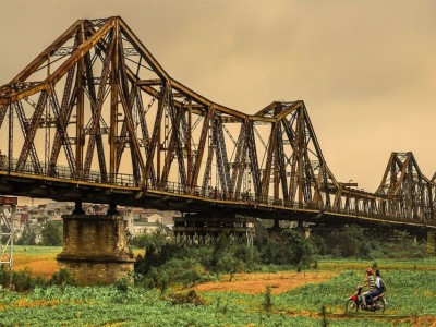
Hanoi means “the hinterland between the rivers” (Ha: river, Noi: interior). Ha Noi’s territory is washed by the Red River (the portion of the Red River embracing Ha Noi is approximately 40km long) and its tributaries, but there are some other rivers flowing through the capital, including Duong, Cau, Ca Lo, Day, Nhue, Tich, To Lich and Kim Nguu.
Climate: Hanoi is situated in a tropical monsoon zone with two main seasons. During the dry season, which lasts from October to April, it is cold and there is very little rainfall, except from January to March, when the weather is still cold but there is some light rain. The wet season, from May to September, is hot with heavy rains and storms. The average annual temperature is 23.2°C (73.7°F) and the average annual rainfall is 1,800mm. The average temperature in winter is 17.2°C (62.9°F), but can go down to 8°C (46.4°F). The average temperature in summer is 29.2°F (84.6°F), but can reach up to 39°C (102.2°F).